قبل از مراجعه، اطلاعات این صفحه را با منابع رسمی و بهروز تطبیق دهید.
Gegharot River
منابع آبیمزایا
- Pristine and untouched mountain nature
- Located in the Mount Aragats area
- Ideal for hiking and mountaineering
- Cool and clean climate
- Stunning natural landscapes
معایب و محدودیتها
- Difficult access in some mountainous areas
- Limited tourist facilities
- Unpredictable weather conditions at high altitudes
توضیحات تکمیلی
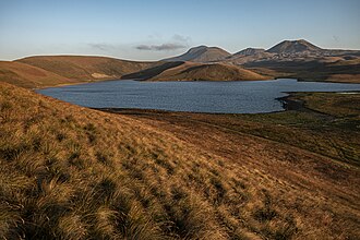
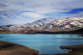
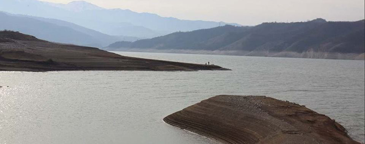
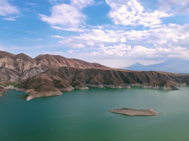
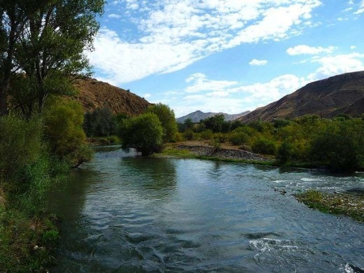
The Gegharot River is a mountainous river located in the Mount Aragats region, the highest peak in Armenia. It originates from high-altitude areas and flows through valleys and elevated plains surrounding Aragats.
Due to its location in one of the most elevated and untouched regions of Armenia, the river is known for its cool climate, unspoiled nature, and breathtaking scenery. This area is especially attractive for hikers, mountaineers, and nature enthusiasts.
The surroundings of the Gegharot River include alpine meadows, natural springs, and wide panoramic views of the Aragats highlands. There are also nearby waterfalls and hiking trails that make this region a unique destination for outdoor adventures.
In addition to its natural beauty, the Gegharot River plays an important role in supplying water to nearby areas and maintaining the mountain ecosystem.